
Site Investigation Studies
INVESTIGATION AND PROVIDES EXHIBITS OF DRAINAGE CHALLENGES AND ENGINEERING RISK TO YOUR DEVELOPMENT. COMPLETE WITH AN ENGINEERING TOPO PRIOR TO OBTAINING A SURVEYOR FOR QUICK COMPREHENSIVE ANALYSIS.
OPTIONAL PRELIMINARY SITE PLANNING WITH ENGINEERING TOPO NEARLY COMPLETES CIVIL DESIGN PRIOR TO MOVING TO FULL CONSTRUCTION PLANS.
Civil Construction Plans & Permitting
FULL CIVIL ENGINEERING PLANS COMPLETE WITH ALL UTILITIES, GRADING AND DRAINAGE DESIGN WITH CLEAR PLANS FOR BETTER ESTIMATING AND CLEAR CONSTRUCTION SPECIFICATIONS
Topographic Mapping
ENGINEERING SURVEY AND EXISTING CONDITIONS OVERLAID OVER ORTHOMOSAIC MAP FOR CLEAR REPRESENTATION OF EXISTING CONDITIONS. PRELIMINARY SITE PLANNING AND PROPOSED GRADING PROVIDES INSIGHT INTO BUILDABLE AREA PRIOR TO ARCHITECTURAL PRELIMINARY PLANS TO LOCATE SITE CONSTRAINTS, DRAINAGE TRAPS, ZONING CHALLENGES, AND OFFSITE UTILITY COST.
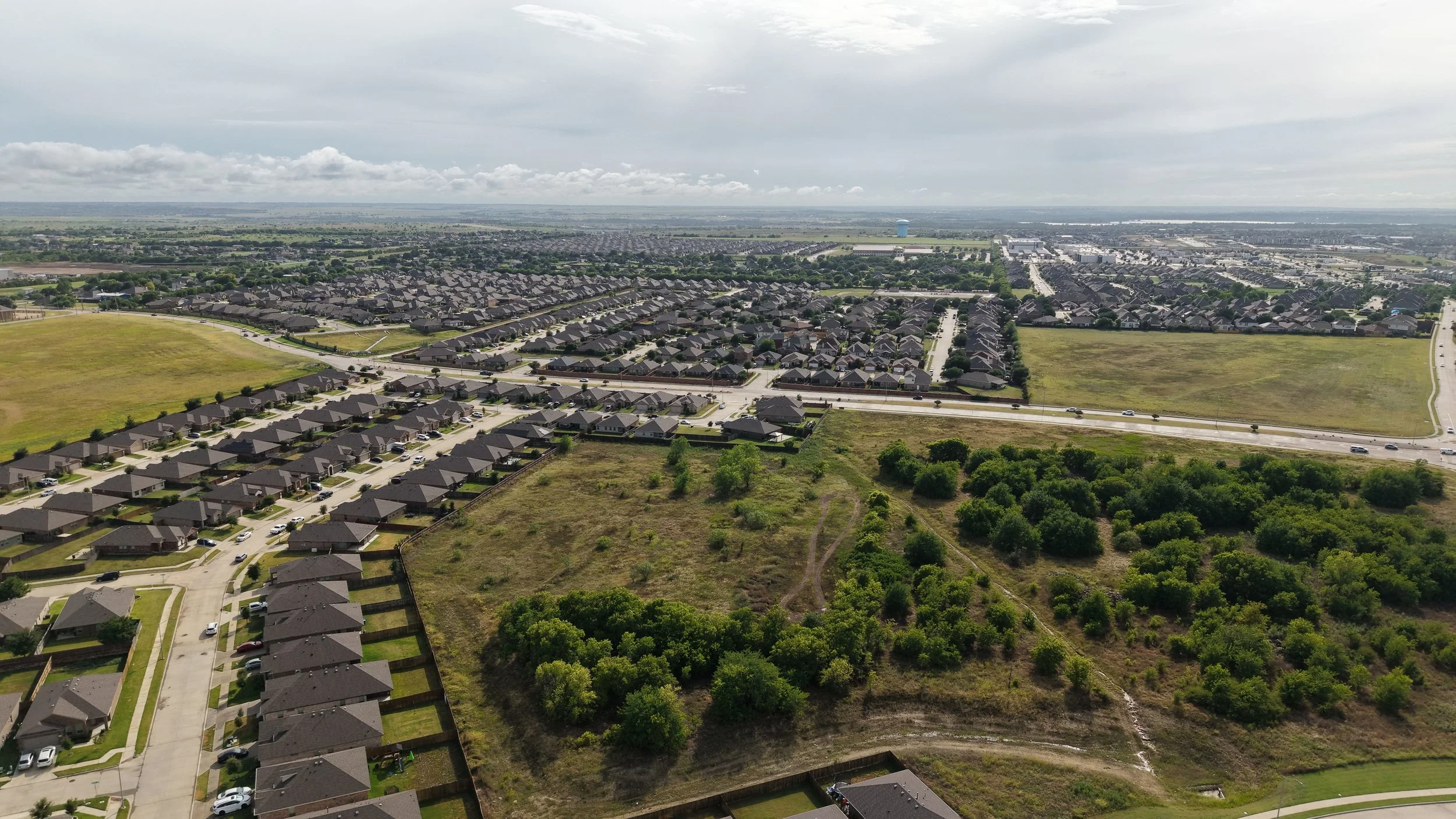
AERIAL OF SOUTH FORT WORTH
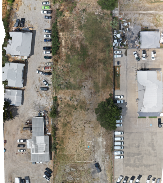
UNDER DESIGN
(SITE PLAN COMING SOON)